Sedona- The Big Picture

Hiking on the rocks in Sedona.
Sedona is known for its breathtakingly beautiful red rocks, amazing sunsets, its mysticism, as a location of natural healing due to its vortices, and as an artist's haven. But did you know that Sedona is a city within the Coconino National Forest that straddles two counties? The western part of Sedona is located within Yavapai County while the eastern part is located in Coconino County. Why is this important? Because when you are looking up things about the area or talking to the local community, they will commonly refer to locations as being in Western Sedona or just Sedona.
There are two main routes you can take to visit Sedona. You can travel from the west by taking 89A (on the western side) or come in from the south (on the eastern side) on State Route 179 (SR 179). Since my family and I visit often I now prefer to travel in on SR 179 because it always seems less crowded, and the traffic seems to flow better. That is until you get to where it merges into 89A in what it referred to as Uptown. My GPS though always wants to take us on 89A. By taking SR 179 we get to drive by and catch a glimpse of the Chapel of the Holy Cross and then go over a small bridge before passing the arts and crafts village of Tlaquepaque. Both are worth a visit if you have the time. However, if this is your first trip to Sedona and you are wanting to experience that initial heart-stopping view I suggest you take 89A. That is the road my family and I took the first time we traveled to Sedona, and I have been hooked ever since.
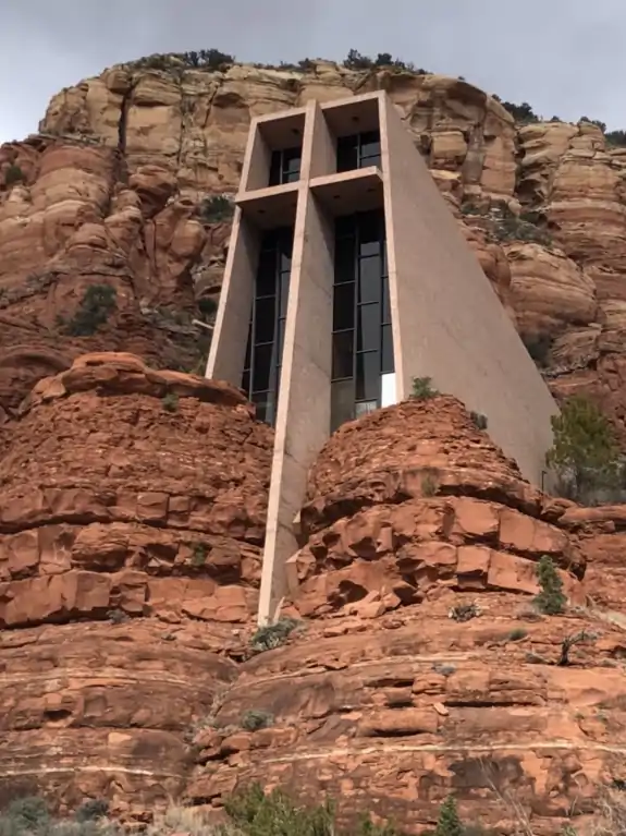
Chapel of the Holy Cross
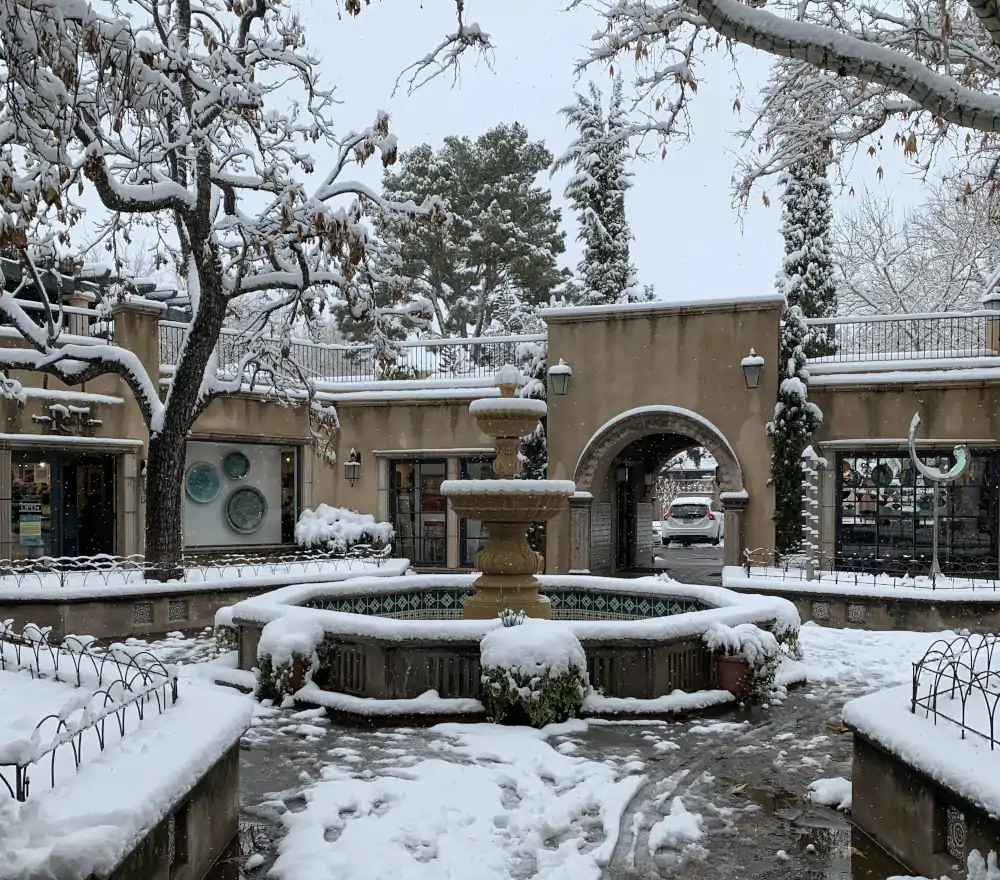
One of the inner courtyards at Tlaquepaque